

Macedonia in European Ethnic Cartography
Mid-19th century – the end of the First World War, 1918
History, seen through maps.
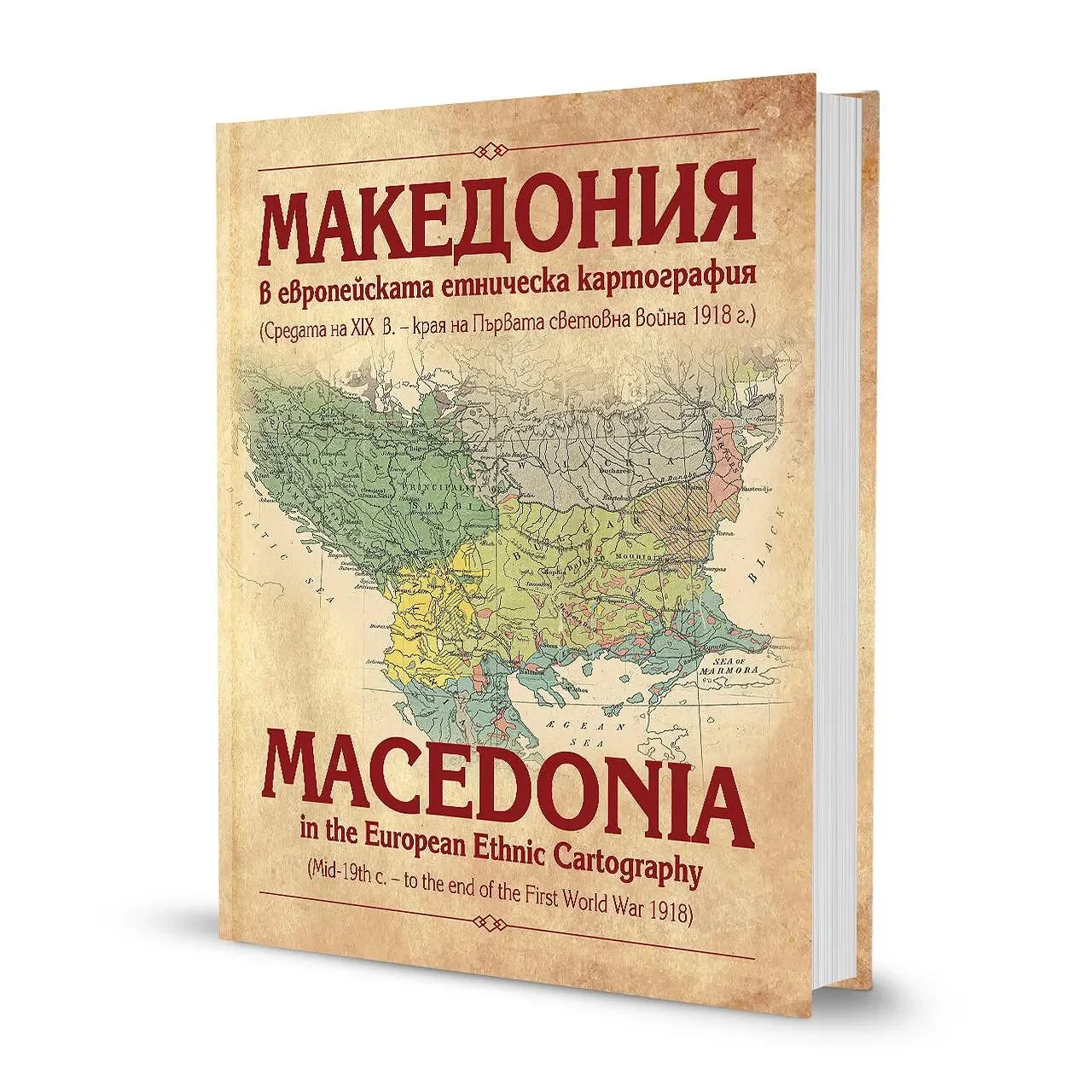
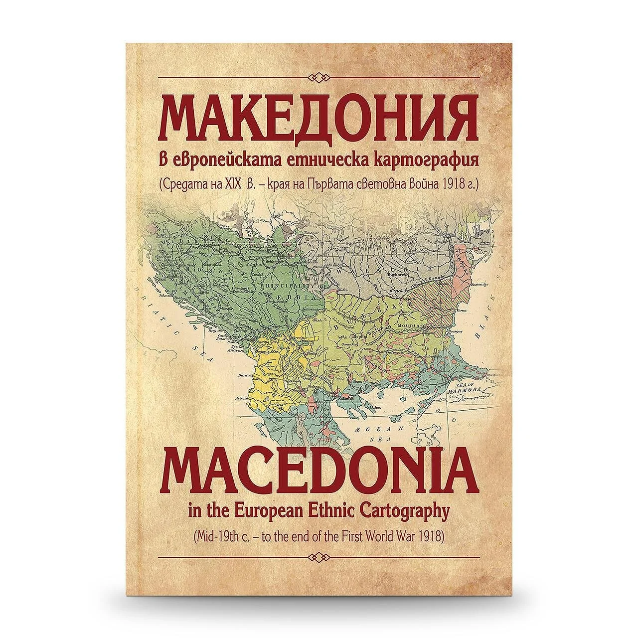
Graphic design by Peter P. Dobrev for a bilingual historical atlas compiled and written by Academician Ivan Ilchev. Published in 2025, Macedonia in European Ethnic Cartography brings together more than 80 maps from the mid-19th century to the end of the First World War in 1918.
The 220-page, full-colour hardcover edition pairs historical cartography with parallel Bulgarian and English text. It explores how European mapmakers represented Macedonia and the wider Balkans during a period of changing borders, conflicts and political debate.
- Design
- Peter P. Dobrev
- Author & compiler
- Academician Ivan Ilchev
- Publishers
- TANGRA IK · Zlatostruy I.D.
- Year
- 2025
- Edition
- 220 pages · Hardcover · Full colour
- Format
- 23.5 × 33.5 cm
- Languages
- Bulgarian & English · Parallel text
- ISBN
- 978-619-92421-8-6
More than 80 maps.
Two languages. One atlas.
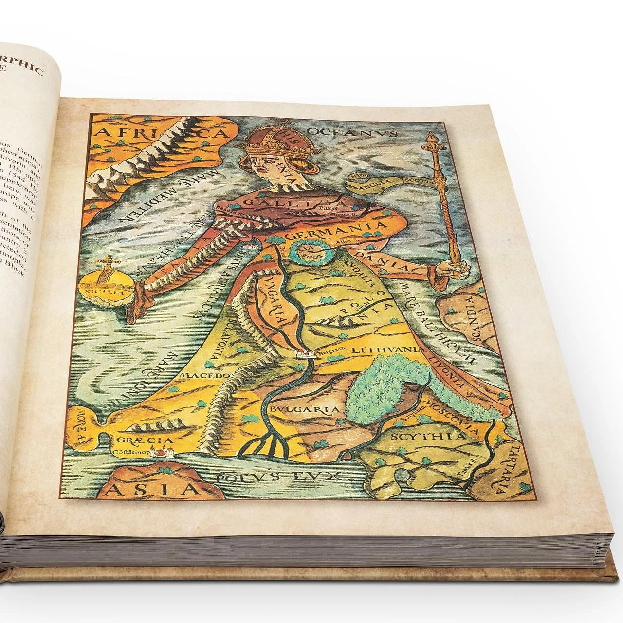
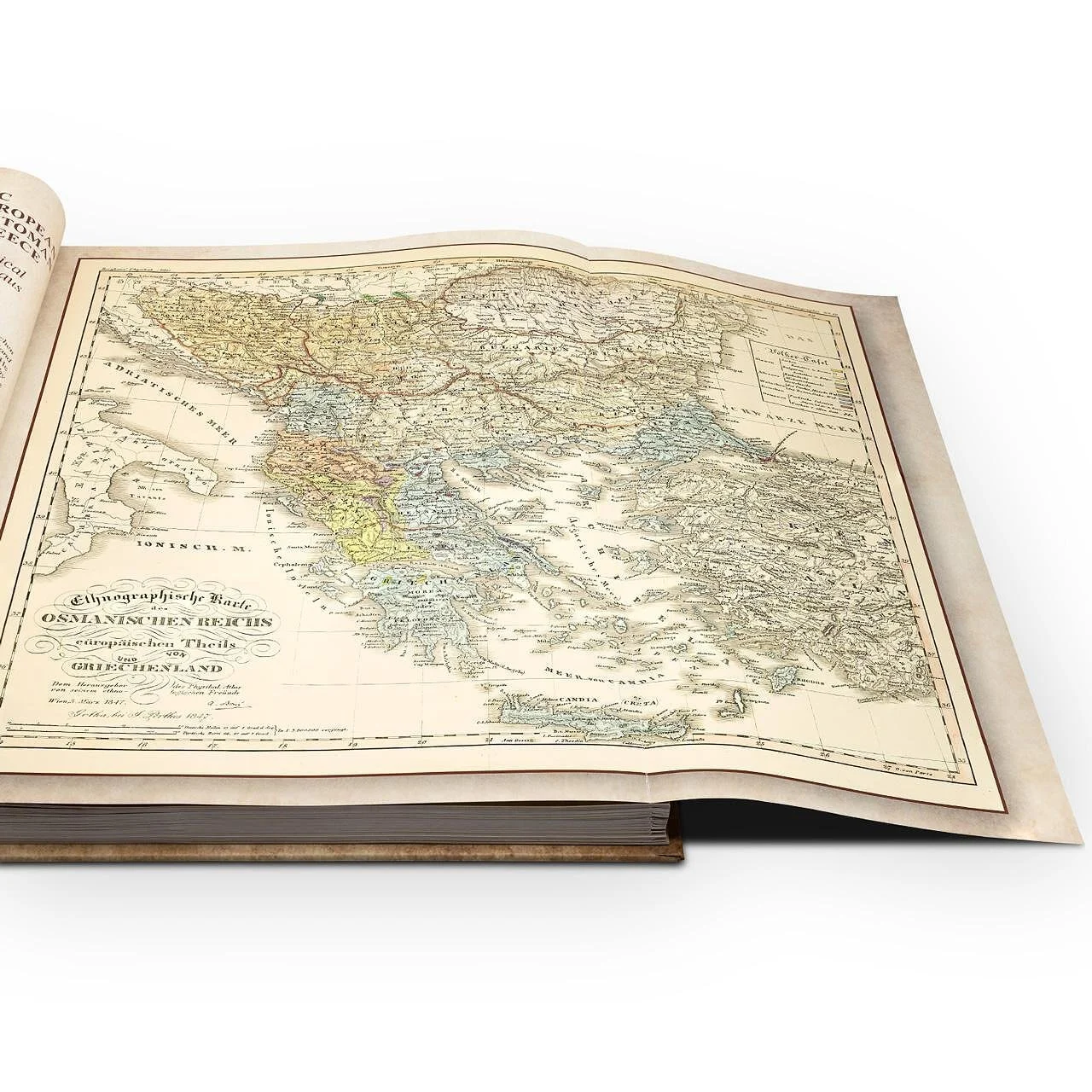
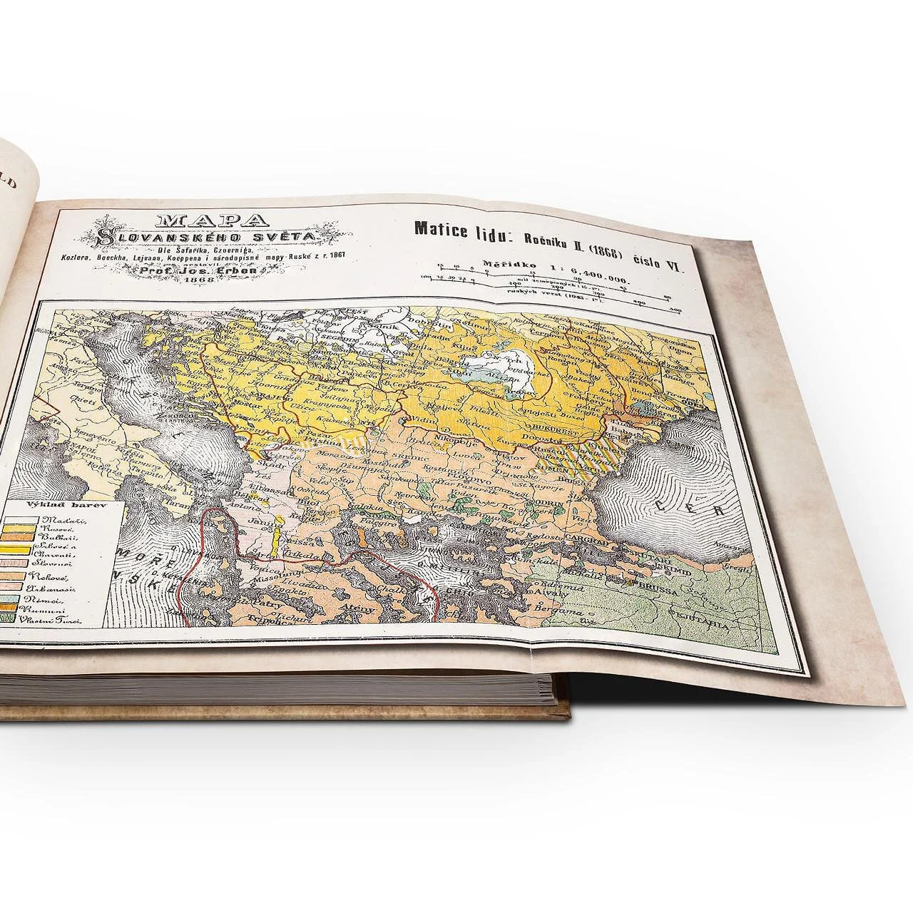
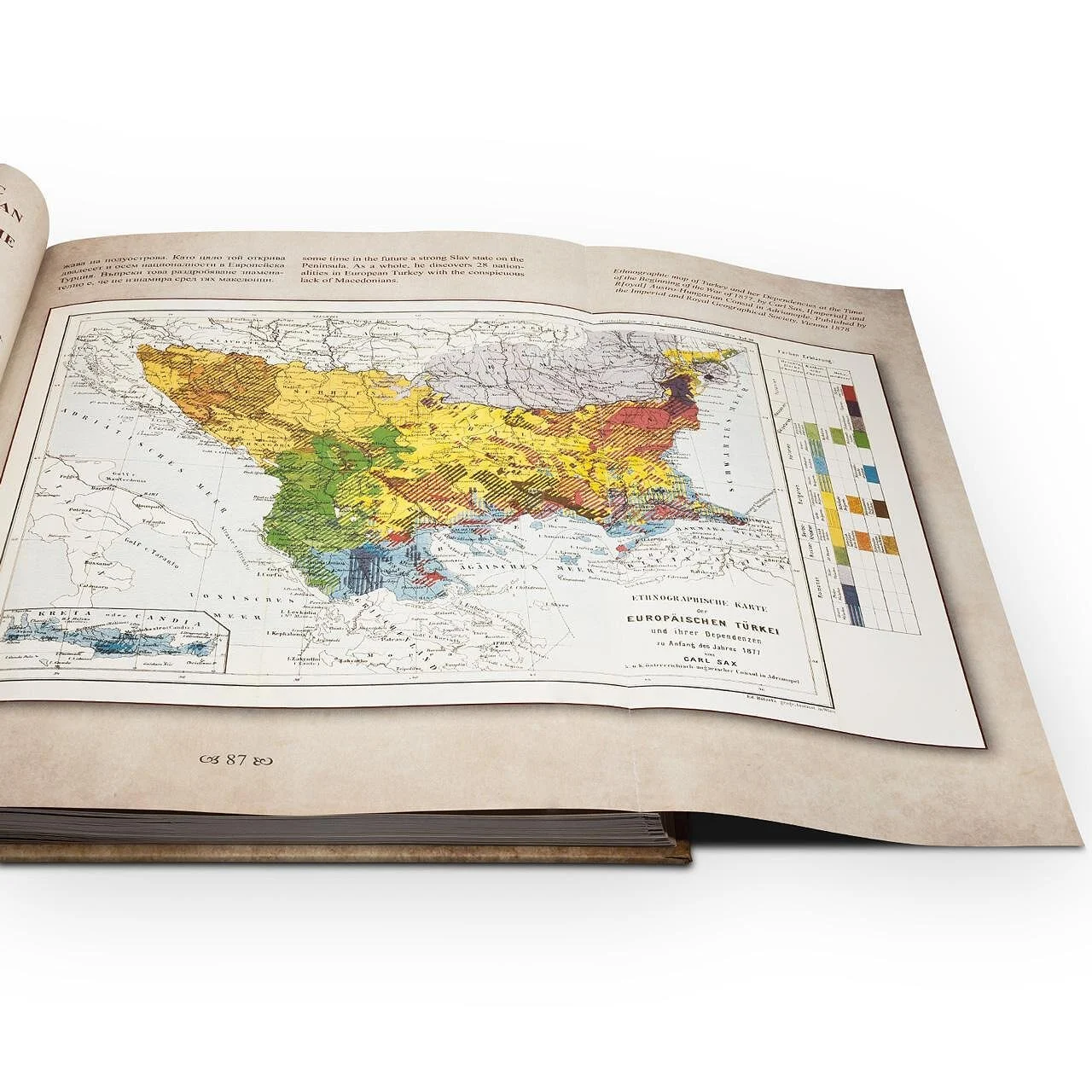
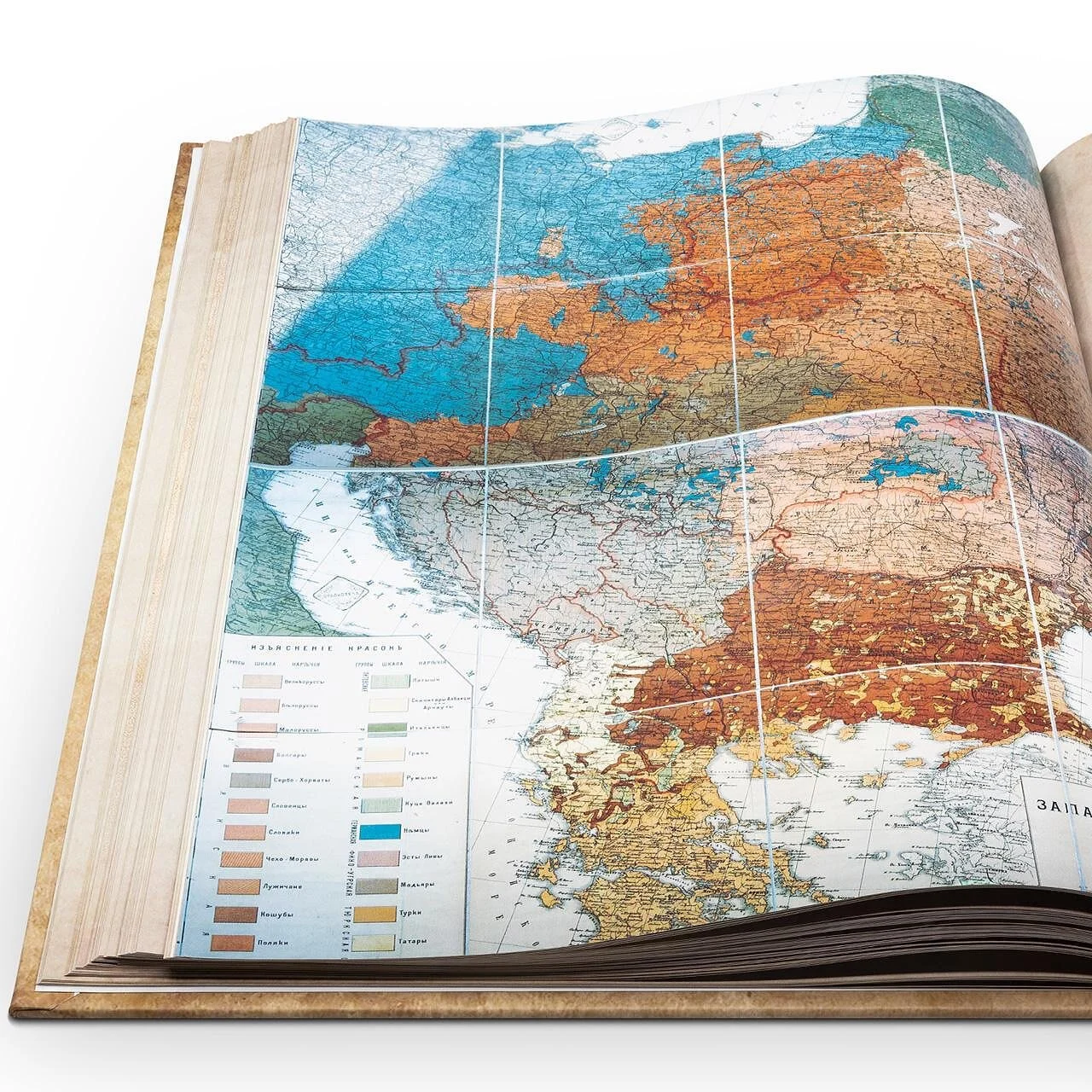
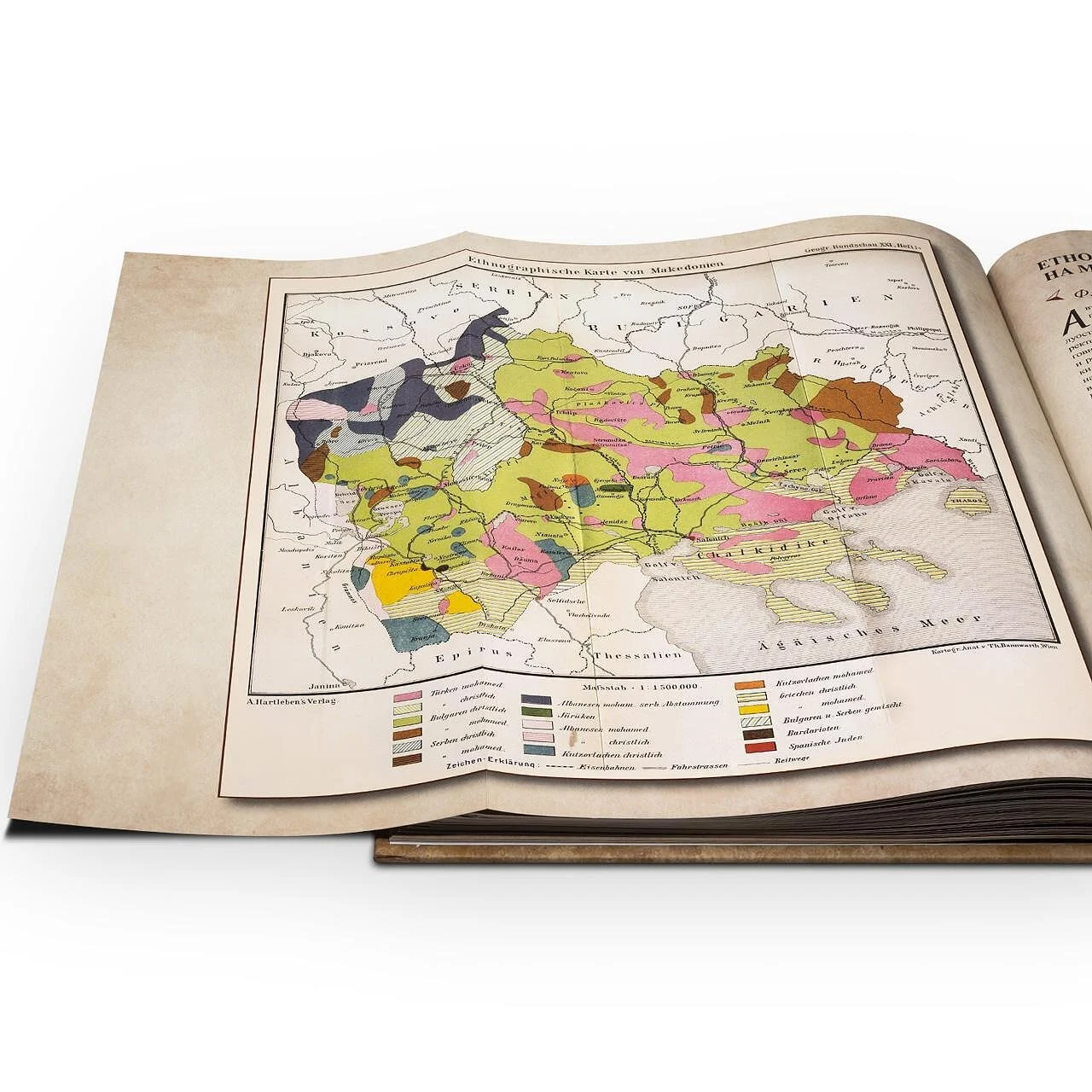
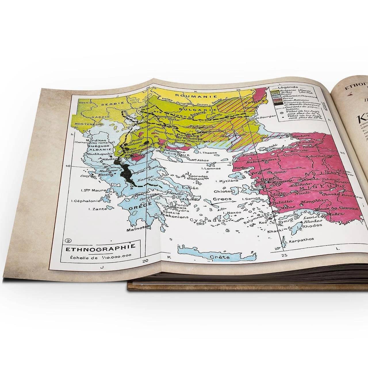
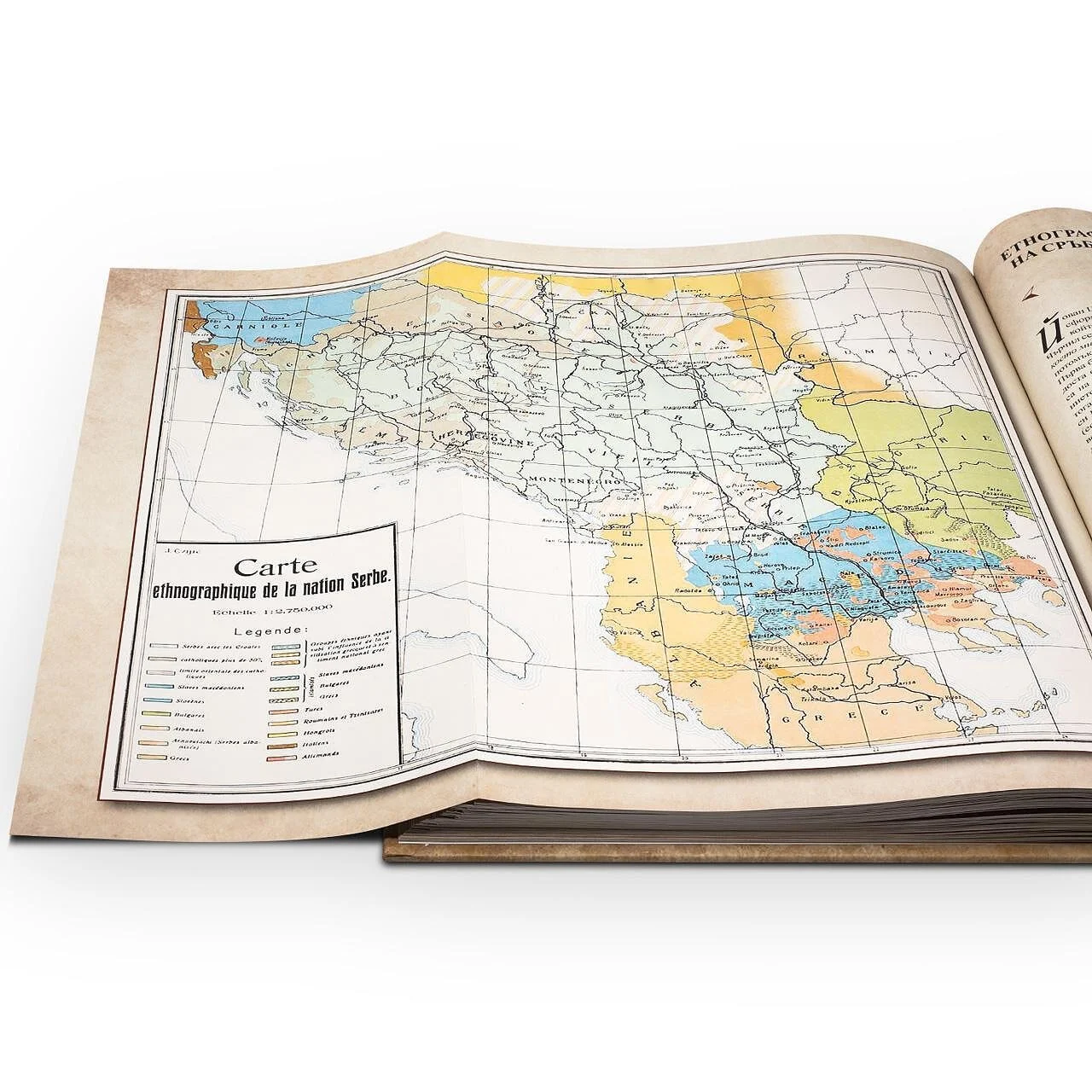
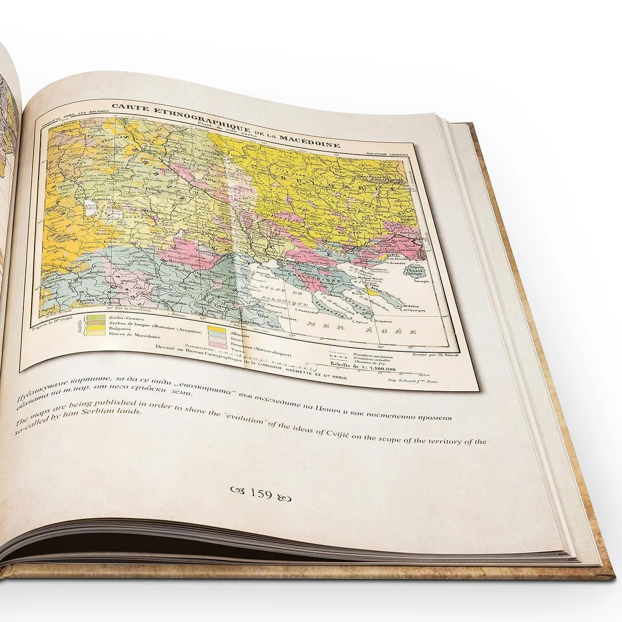
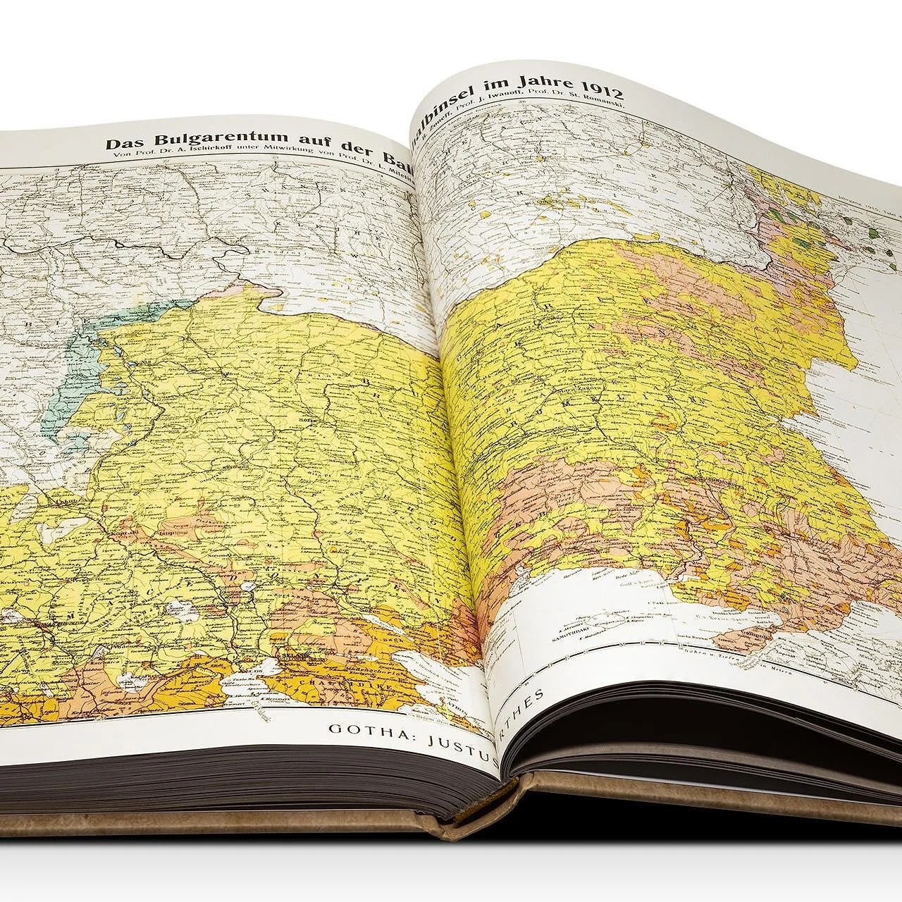
The collection focuses on ethnic maps of Macedonia, while many of the originals show a broader area extending from the Danube to the Aegean and Mediterranean seas. The maps are presented as historical documents, with the author’s study providing context for their creation and interpretation.
A closer look
at the printed edition.
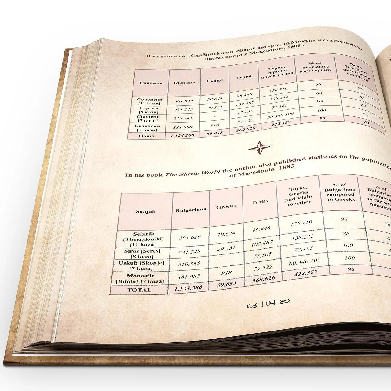
Explore the cover, page layouts, cartographic reproductions and illustrated details in the gallery below. Click any photograph to open the slideshow.
Cover, maps & interior pages
Explore the cover and interior details. Click a photograph to open the slideshow.

Let’s create something that lasts.
Atlas, book and editorial design from Dobrev Atelier, Sofia.
Macedonia · Project gallery